Insurance

GIS for Insurance

Use location intelligence to better model risk, set accurate premiums and accelerate claim management.

Calculate your ROI

Insurance

Why Geospatial Technology is Crucial in Insurance

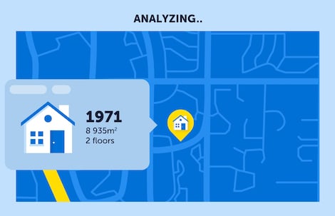
Analyzing the address to verify insurance coverage

Insurance leaders know that an accurate geospatial data plays a big role in risk modeling. They need the most precise location to underwrite and set accurate premiums. Geospatial technologies are also used to map out risk areas, anticipate potential disasters, assist claim management, and help with fraud detection. Combined with other leading-edge technologies, geospatial technologies enable monitoring of customer behavior as well as improving customer experience through better and timely communication when a disaster hits.

Read our insurance blog »

How Insurers Leverage Location Intelligence

Underwriting

Correctly identifying risk to accurately underwrite policies and establish pricing guidelines is a function of good quality data. Geospatial solutions provide access to accurate address data, claims history and additional data such as building type, property ownership and construction materials. These data can be factored into better models leading to better pricing. New data sources from telematics, wearables, and smart homes will contribute to the understanding of personal risk factors and exposure.
Emergency Response

It’s impossible to detect when catastrophic events will occur. In areas impacted by natural or man-made disasters, use geospatial solutions to map customers in the impacted areas, and direct field service personnel to the right place at the right time. Divert marketing activities away from impacted areas so as not to further annoy existing customers. Use GIS to conduct post-event analysis using aerial imagery to assess property damage and look for other perils that might impact policy underwriting.

Customer Engagement

The rise of Insurtech companies is putting even more pressure on traditional insurers to move to a digital-first customer journey. It all begins with an online “quick quote” tool. Using the customer’s address as the starting point of the onboarding journey, insurers are using data enrichment and geospatial analytics to provide information on policy coverage in minutes.

The moment of truth in the insurer-insured relationship is always when a claim is filed. The insurer must determine if a policyholder is insured against certain perils. Likewise, policyholders want immediate action in the event of a catastrophic event. Take advantage of geospatial technology to determine the current conditions of areas impacted by storms or other events. Assess claim history by immediately identifying the property address in order to expedite a claim and proactively inform your customer. It will inevitably lead to a better customer experience.

Statement Mailing

“Undeliverable As Addressed” mail costs are estimated at $20 billion per year or $3 per package according to the U.S. Postal Service. Make sure that customer policy statements, as well as information regarding claims, arrive to the correct address, on time. Address management and high-precision geocoding solutions correct the problems associated with missing address data or mis-fielded information and validate for Coding Accuracy Support System (CASS) Certification.

Customer Insights

Do you have a “single view” of your policyholders? A view that shows what policies are in effect at a given address and whether your customer would benefit by bundling separate policies for home or auto? Are you able to see what perils may impact policy rates at a specific address, parcel or commercial property? Using geospatial technology, and especially high-precision geocoding, provides a more reliable and accurate database of your customer’s location upon which to build your book of business.

Driver Safety

Usage-based auto insurance paves the way for new underwriting models that asses individual driving behavior. Use geospatial technology to map daily driving behavior based on speed, route, distance to work or home. Telematics data enriched with geospatial data such as road conditions, speed limits and weather will improve policy underwriting and improve risk management.

Fraud Detection

Make geospatial solutions your weapon against fraud. Map unusually high policyholder claims locations, determine agent claims versus reported incidents, and identify these incidents to historical claims data. Geospatial analysis leads to identifying unusual trends faster and visually detecting irregularities. Protect your company from the economic consequences of fraud.

Download this page (PDF)

ROI Calculator

Calculate your return on geospatial investment

Number of home policies
0M 100M
Number of car insurance policies
0M 100M
Your degree of trust for
your business’s current geocoding
0% 100%

  • Summary
  • Home policies
  • Car insurance policies
  • Degree of trust
  • TOTAL ROI:
  • This field is for validation purposes and should be left unchanged.

Articles

How to overcome the challenges of the insurance industry with precise geocoding

The insurance world is now in full transformation. Our experts talk about the InsurTech trend.

Read the article

Articles

Insurtech: 5 questions from across the country

Everything you need to know about the insurance industry’s major – and essential – transformation

Read the article

They trust our expertise

Ready to buy?

Our experts will send you a quote shortly.

Get a quote
CHATWITH US