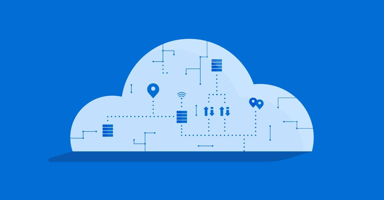
Amid today’s uncertainties, utilities need new data perspectives that answer critical “why” questions so they can sharpen insights and drive better decisions. To this end, CIOs and IT directors engage in digital modernization programs migrating existing and legacy technology workloads to cloud platforms. Hence, more organizations are trying to move from legacy data warehouses and data lakes to a cloud-based, lakehouse paradigm for flexibility in more agile, self-service analytics.
However, it is not uncommon to find gaps in the geospatial capabilities of the chosen or available cloud solutions. Most data warehousing solutions come with common geospatial capabilities that will address basic use cases. But the true power of these solutions comes in the form of user-defined functions, which will help stakeholders augment their system’s capabilities with custom logic and advanced geospatial operators they may be accustomed to. Organizations that can relate location data and models to transaction data, events, real-time data streams, and more, will gain competitive location-specific answers to business questions.
Still there are many pitfalls when migrating to cloud solutions while keeping a geospatial perspective:
- Data Integration Process
- Migrating data into a cloud-based solution involves significant effort to consolidate and synchronize different formats and types of data with multiple purposes and from various sources.
- Resource and Cost Management
- The data migration process can be more costly than expected in terms of time and money. Additionally, most companies often lack the expertise and resources necessary to fully exploit new technologies.
- Data Visualization Tools
- Since visualizing massive amounts of data requires specialized tools and methodologies, your previous visualization solution may no longer be suitable for your needs.
In this webinar you’ll learn
- What are the best practices to integrate data and streaming data the most effectively while taking into account the complexity of certain geospatial sources
- How to best leverage your cloud infrastructure to accommodate the potential for processing large-volume, geospatial data for advanced location analytics
- Enabling powerful customer analytics with geocoding plus advanced data processing and modeling
- Leverage these new capabilities to address events, such as weather, and create what if scenarios.


