As data has become the currency of a digital-first world, diverse data can play a role in substantially differentiating competitors that are looking for an edge. As every company is now a “data company,” integrating disparate data sources is essential. In TDWI research, for instance, geospatial data has moved into the early mainstream phase of adoption and is being applied in a variety of use cases.
Retailers, for example, use location data as they try to maximize revenue on a per-square-foot basis. Likewise, transportation companies use it as they try to minimize fuel consumption for last-mile deliveries—as consumer demand remains strong despite rising inflation. Insurance companies, too, are looking for an edge to mitigate risk and reduce churn. Here, location-based data provides insights not necessarily obvious in spreadsheets and dashboards.
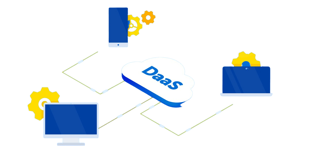
The Data as a Service (DaaS) model addresses the challenges related to finding or sourcing third-party data to make this data more actionable and discoverable. For location data this includes demographic, road traffic, footfall, and audience segment data as well as a multitude of property attributes such as building footprints and parcel boundaries. A second benefit of DaaS is the ability to streamline procurement costs and leverage a transaction-based data licensing agreement, also known as a pay-as-you-go model. Lastly, users are concerned about the currency of data and want to eliminate the need for requesting the latest version and updates. All these issues represent barriers for companies that want to become more data-driven.
In this webinar, you will learn:
- How geospatial data can drive business value
- How to acquire data delivered in a format that is immediately actionable for analytics solutions
- How to reduce the time spent integrating and preparing data for use
- How to avoid the pitfalls of acquiring and using data from multiple vendors


