How to Build a Custom GIS Solution for Your Geospatial Data
July 4, 2024
The choice of a GIS solution often starts with the search for the best GIS software. Yet, even if the GIS platform is key, building a custom GIS solution requires additional tools and steps. Data integration and data management also call for specialized skills. Here are the key considerations in building your GIS solutions and details about Korem’s expertise to secure your project.
GIS Solution vs. GIS Software: What Is the Difference?
What differentiates a GIS solution from a GIS software and why does it matter for your projects? The short answer is that a geographic information system (GIS) project needs more than software and tools. A custom GIS solution integrates technical and organizational elements, as well as professional services, to turn geospatial data into valuable business insights.
In a GIS project, data selection and database management can represent more than 70% of the costs (estimates by the University of New Brunswick). All in all, human expertise and understanding of geospatial data cannot be dissociated from the technical parts of this project.
The challenge is not only to assemble the best GIS tools but also to integrate them with your information system and your data pipelines. That’s why a GIS solution brings value to your project as a technical and organizational framework for geospatial data management.
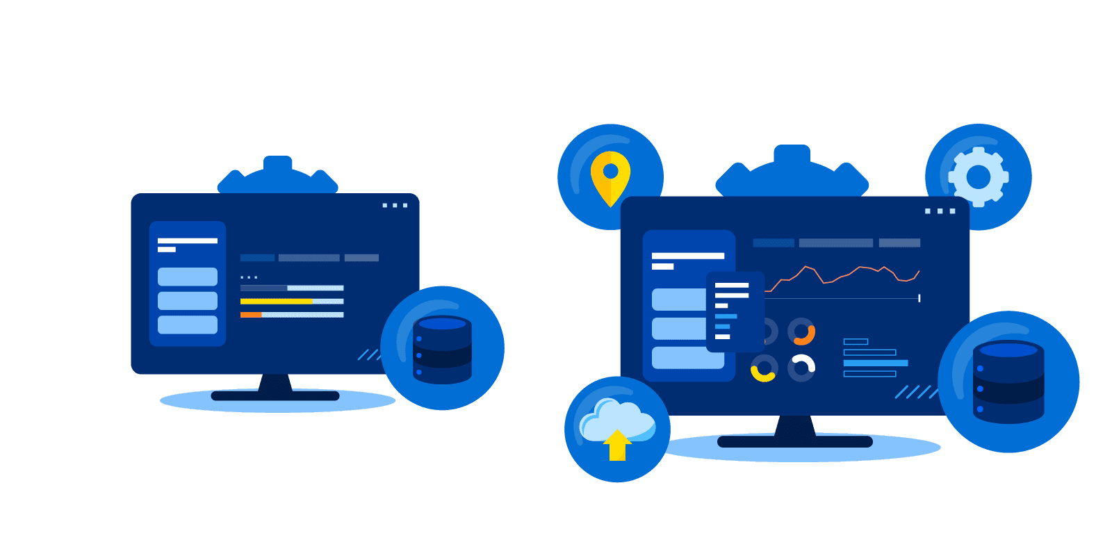
On the technical side, your GIS platforms can be connected to a cloud data lake. The idea is to build a centralized data repository to use your geospatial data for analytics and AI projects. On the organizational side, building a GIS solution means not only choosing geospatial tools but also assembling a multidisciplinary team. It requires expertise in geospatial technologies, IT systems and cloud, data integration and management, analytics, and software development. And finally, your GIS solution needs to integrate collaboration tools to enable your whole team to contribute and enhance your projects.
Best-Of-Breed or Best-Of-Suite for Your GIS Solution?
When building a GIS solution, the software components still matter. Complete GIS platforms (best-of-suite) offer three main features: visualizing, analyzing and operationalizing location-based or geospatial data. Other specialized tools (best-of-breed) might focus on one feature or on industry-specific needs. This explains why checklists of the best GIS software are often flawed, like comparing Apples vs. Oranges.
For instance, telecommunications players need GIS with wave propagation modeling that simulates wireless coverage. Retail players need trade area analysis with accurate mobile traffic data.
Advanced GIS creators also need more flexibility to build and customize views and maps. Depending on the functionalities you are looking for, you might find them from a single vendor. Or you could need to assemble different solutions from several “best-of-breed” players in your custom mixed geospatial environment.
Korem provide strategic consulting services to help you choose the right GIS software for your needs or assemble several tools. Both approaches are interesting. And it can be sped up with the help of our experts, especially if you are launching your first GIS pilot project. To know more, we invite you to read this article on “What is the Best GIS Software for You?”
Korem offers an independent, neutral viewpoint on GIS platforms. We build GIS solutions with software from Precisely, HERE Technologies, Google, Alteryx, Environics Analytics, CARTO, Core Logic, Lightbox and ReportAll. We also work closely with our partners to develop connectors to integrate their best-of-breed technology into other platforms. For instance, we help many clients with the interoperability between ETL (Extract, Transform, Load) tools like Alteryx and FME. We can also build custom data flows for geocoding and routing services as well as the validation of addresses.
Focus on the Data Dimension of Your GIS Solution
Geospatial data considerations can jeopardize your GIS project if you do not anticipate them in your roadmap. For instance, the quality of data, its accessibility, and operational factors. This includes your desired data update frequency and security requirements. Organizational factors also come into play, like ROI objectives and sustainability, confidentiality, and compliance requirements. For instance, sourcing high accuracy sensitive data and respecting privacy regulations (like CCPA, GDPR and the Privacy Act).
Once your GIS solution is up and running, your next step is to fine-tune your data processes and improve performance and costs. For instance, you can optimize the speed of data collection and integration, its accuracy, and cost. Different data strategies can require internal sources or the purchase of external geospatial datasets. With a benchmarking strategy you can optimize the consumption of external data. For instance, it can be economically smart to buy data “on demand” through an API, rather than acquiring an entire dataset. This decision depends on the recurrence and volume of your geospatial data queries.
Why Work with Korem to Build Your GIS Solution?
Beyond GIS software and tools, you also need a business architecture, a geospatial strategy, and a roadmap for your projects. There is no “one-size-fits-all” here since the technical and organizational elements are specific to your company and your business model. This custom approach requires a broad expertise, in data and analytics, but also in systems integration.
That is why leading North American companies choose Korem’s consulting services to build and manage a GIS solution perfectly tailored to their needs. Moreover, our data and analytics team can help you master your geospatial data. This is ultimately the most important aspect of a GIS project, because a GIS platform without data is as useless as a car without gas.
