In this article
-
What is Location Intelligence?
-
What are the types of data used in Location Intelligence?
-
What are the advantages of Location Intelligence?
-
What is Location Analytics?
-
What are the advantages of Location Analytics?
-
Who uses Location Intelligence?
-
How is Location Intelligence different from Business Intelligence?
-
What are the challenges of Location Intelligence for organizations?
-
What are the Location Intelligence services offered by Korem?
Location Intelligence (LI)
What is Location Intelligence?
Location intelligence (LI) is defined as a methodology for gaining insights from location data or geospatial data in order to answer geospatial questions or solve specific problems. LI is more than just maps and data visualization; it is about analyzing location data as an intrinsic part of an organization or societal problem. To do so, organizations must overlay multiple datasets spatially and/or chronologically.
Location intelligence, also named geospatial intelligence or spatial intelligence, is similar to signals intelligence (SIGINT), imagery intelligence (IMINT), measurement and signature intelligence (MASINT), and human intelligence (HUMINT). It refers to all the activities involved in processing location-based data, such as data collection, evaluation, analysis and dissemination, and is an essential complement to business intelligence (BI) tools.
What are the types of data used in Location Intelligence?
Location intelligence data can be many things, including addresses, latitude/longitude coordinates, points, lines, and polygons. To enrich their analysis, organizations are increasingly using geospatial data related to finance, human mobility, demographics, road traffic, points of interest, weather, climate, and housing, as well as internal data from their CRM, loyalty card, and e-commerce for example.
What are the advantages of Location Intelligence?
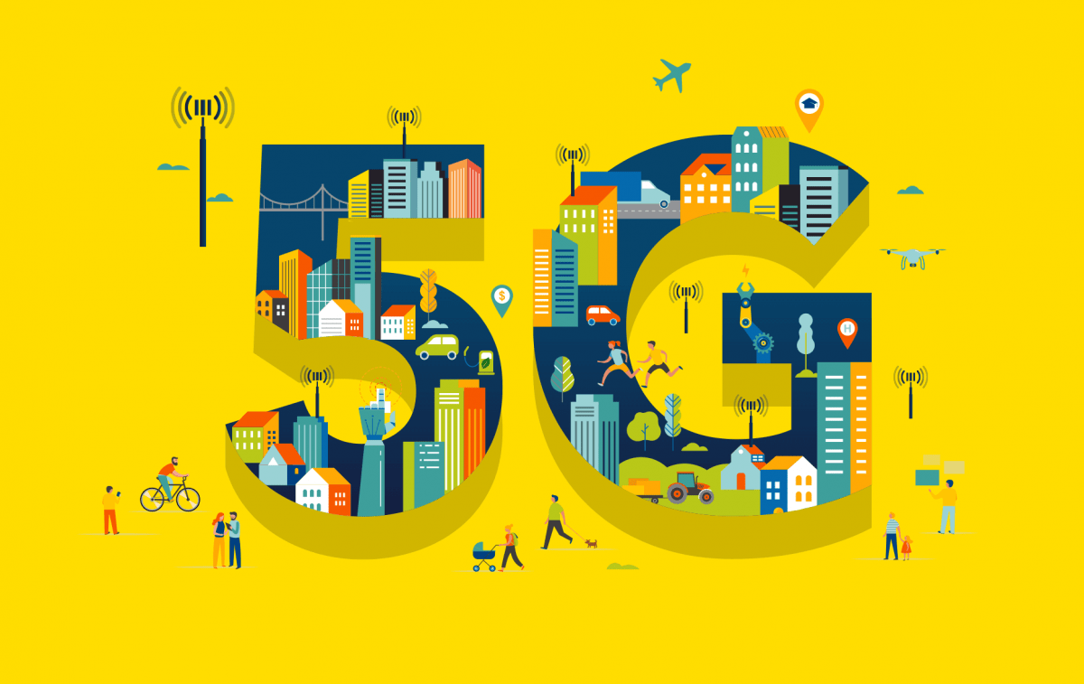
Location Intelligence helps organizations access geospatial information, enhance their business intelligence solutions and analytics capabilities, improve their customer experience, and generate competitive intelligence. It is useful for geomarketing (i.g., geotargeted advertising), site selection, real-time merchandising, logistics, performance management, and maintenance or repair of vital infrastructure. Since the last few years, we are seeing a new generation of location-based use cases emerge. For example, LI is contributing to the deployment of electric vehicle charging points and 5G networks, as well as Internet of Things (IoT) analysis.
What is Location Analytics?
Location-based analytics provide an additional layer of geographic data for organizations. They add more context when it’s time to make decisions and provide deeper insights that may not have been discovered with traditional, flat business intelligence (BI) data.
What are the advantages of Location Analytics?
LI data analyses are relevant for understanding, planning, predicting, and problem-solving. More specifically, organizations that perform location-based analytics can reduce their costs, find new sales opportunities, and implement changes for better operational efficiency.
This is achieved through three elements:
- Availability of hyperlocal intelligence;
- Access to real-world context;
- Access to actionable insights.
Because location analytics is highly visual, it is easier for non-experts to understand the information found in the data. Thus, when location-based data are layered on a map or in a dashboard, organizations can better identify the location of an event, understand why it is occurring, and what is causing it.
This information can then be communicated throughout the organization and acted upon by different departments and teams more easily. In short, this allows organizations to make predictions and optimize their practices. In this way, LI data analyses give insights into hidden relationships, patterns, and trends, and provide organizations with a competitive advantage and new opportunities.
Who uses Location Intelligence?
LI is embraced by a wide range of industries, such as real estate, financial services, telecommunications and retail, and by everyone in each industry, from the salesperson to the boardroom:
- Marketing department: to improve campaign ROI;
- Operations: to optimize fleet management;
- Sales: to balance territory design;
- Human resources: to track employee movement;
- Strategists: to make mergers and acquisitions decisions.
How is Location Intelligence different from Business Intelligence?
Location Intelligence (LI) differs from Business Intelligence (BI) in four ways:
- Data focus: BI focuses on temporal data, with occasional use of maps; LI is built around location-based analysis.
- Analysis: BI platforms visualize and display pre-processed result sets on a map; LI enables iterative analysis of multiple layers of interactive data.
- User actions: BI users zoom, filter, and print results; LI users analyze, compare, predict, and publish interactive results.
- Questions answered: BI focuses on the where and what; LI focuses on the why and how.
What are the challenges of Location Intelligence for organizations?
The principal challenges of LI for organizations are discovering, evaluating, purchasing, analyzing and modeling useful data, and the establishment of structures. Carto found out that only 20% of organizations’ time is spent on analysis, while the other 80% is wasted in the preparation phase. To use their time more efficiently, they need to use the right intelligent tools and get help from geospatial industry experts.
What are the Location Intelligence services offered by Korem?
Korem is here to help organizations manage their operations more intelligently with location-based products. As part of a digital transformation, geographic information system (GIS) technology can help offer location intelligence to organizations. GIS provides a software framework for managing, visualizing, and analyzing the meaning of location-based information. Korem also offers mapping applications to leverage location data.


