In this article
Geocoding
What is geocoding?
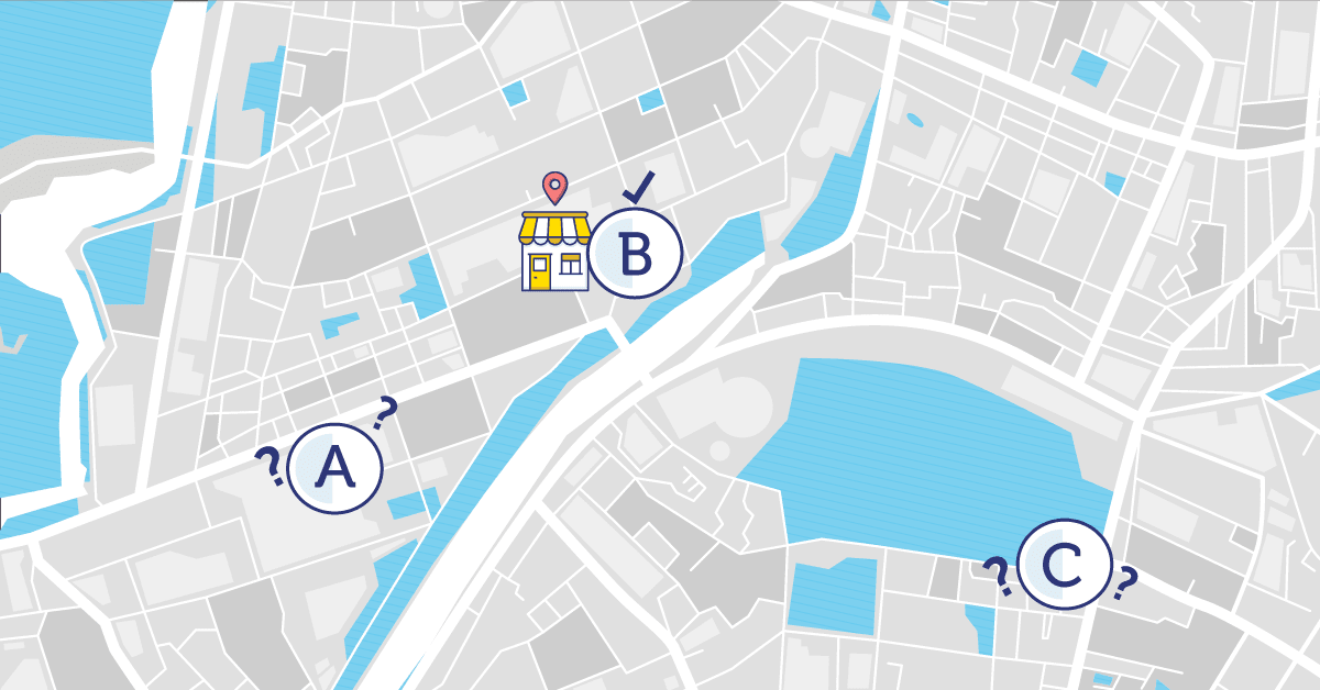
Geocoding is the process of associating geographical coordinates (latitude and longitude) to a text address, or identifying the name of a place to a location on the Earth’s surface. You can geocode by entering one location description at a time or by providing many of them at once in a table.
See also Street interpolated geocoding.


