Regulatory Compliance
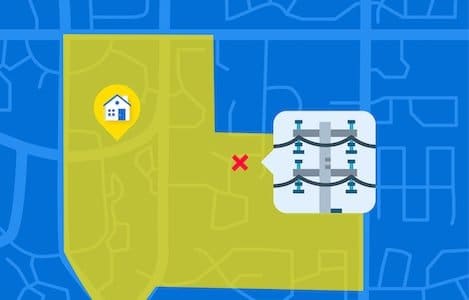
Every physical asset has a location and understanding the condition of those assets helps utility planners to set maintenance schedules and manage critical infrastructure to contain costs. Geospatial solutions help to map right-of-way, property boundaries, building locations and the impact of regulatory guidelines. Map clients to understand serviceability. View and process drone imagery to capture the condition of utility poles and transformers, and to make sure there is adequate separation between transmission lines for regulatory compliance.


