In this article

Back

Geocoding

What is geocoding?

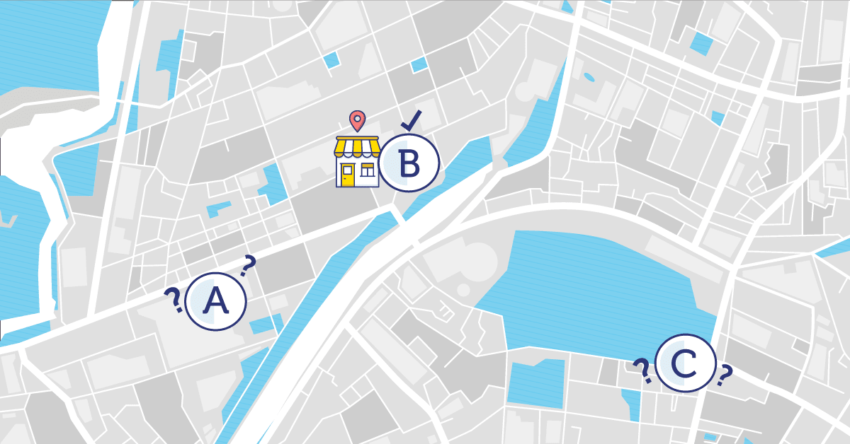
Geocoding is the process of associating geographical coordinates (latitude and longitude) to a text address, or identifying the name of a place to a location on the Earth’s surface. You can geocode by entering one location description at a time or by providing many of them at once in a table.

See also Street interpolated geocoding.

How to Choose the Best Geocoding Service for Business Applications Blog

How to Choose the Best Geocoding Service for Business Applications

Not all geocoders are created equal and there are 8 things you should be aware of when choosing which geocoding service will be the most accurate.
Read more
How to Overcome Insurance Challenges with Accurate Geocoding Blog

How to Overcome Insurance Challenges with Accurate Geocoding

Insurance is a promise to policyholders. It says, when something goes wrong, we’ll be there to help.
Read more
How Geocoding and Location Data Are Transforming Insurance Underwriting and Pricing Blog

How Geocoding and Location Data Are Transforming Insurance Underwriting and Pricing

Insurers are increasingly embracing geospatial technology and, more specifically, hyper-precise insurance underwriting data and insurance geocoding systems to improve pricing policies.
Read more
CHATWITH US